Mato Recordings example. Source recording: USGS: 2021 November Yellowstone Volcano Update, by the U.S. Geological Survey (public domain). Made with Mato from this recording. Fault Lines is a show produced on Mato; the source publisher is not affiliated with it.

fault lines
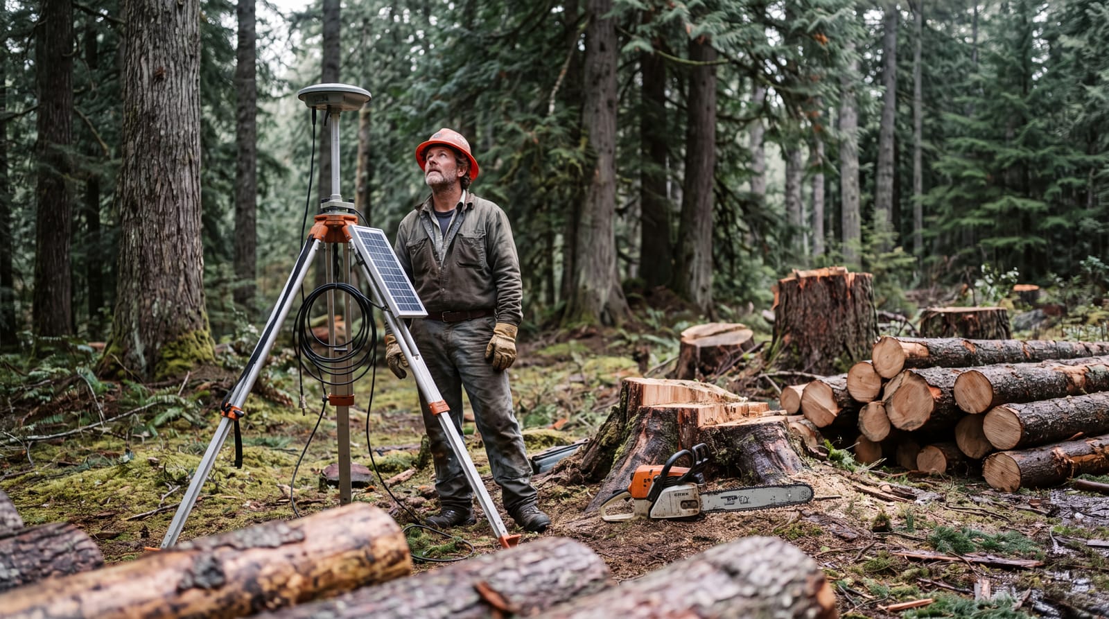
A field technician in a hard hat looks up at tall conifers beside a GPS antenna, with freshly cut stumps and logs in the clearing around the station

Fault Lines · November 2021 update

Sinking Caldera, Rising Norris: Reading Yellowstone's Ground Deformation

GPS stations on Yellowstone's resurgent domes show steady subsidence of about an inch a year, while Norris Geyser Basin showed a small, ambiguous uplift in 2021.

A field technician beside a GPS antenna, with freshly cut stumps and logs around the station. Generated with Gemini.

Yellowstone's caldera is sinking at about an inch a year, and in 2021 the Norris Geyser Basin area briefly looked as if it might be rising. That is the short version of the Yellowstone Volcano Observatory (YVO) monthly update for November 1, 2021, in which scientist in charge Mike Poland walked through GPS records from both resurgent domes and from Norris.

Later updates changed how the Norris bump reads, so this article follows the 2021 observations and then what came after. The January 2023 update described the caldera region continuing to slowly subside by a couple of centimeters per year, with little deformation in the Norris area. The update added that the same pattern had been observed for several years.

This story has a soundtrack

Press play and keep scrolling. The November 2021 update behind this story walks through the same GPS records: both resurgent domes, then Norris.

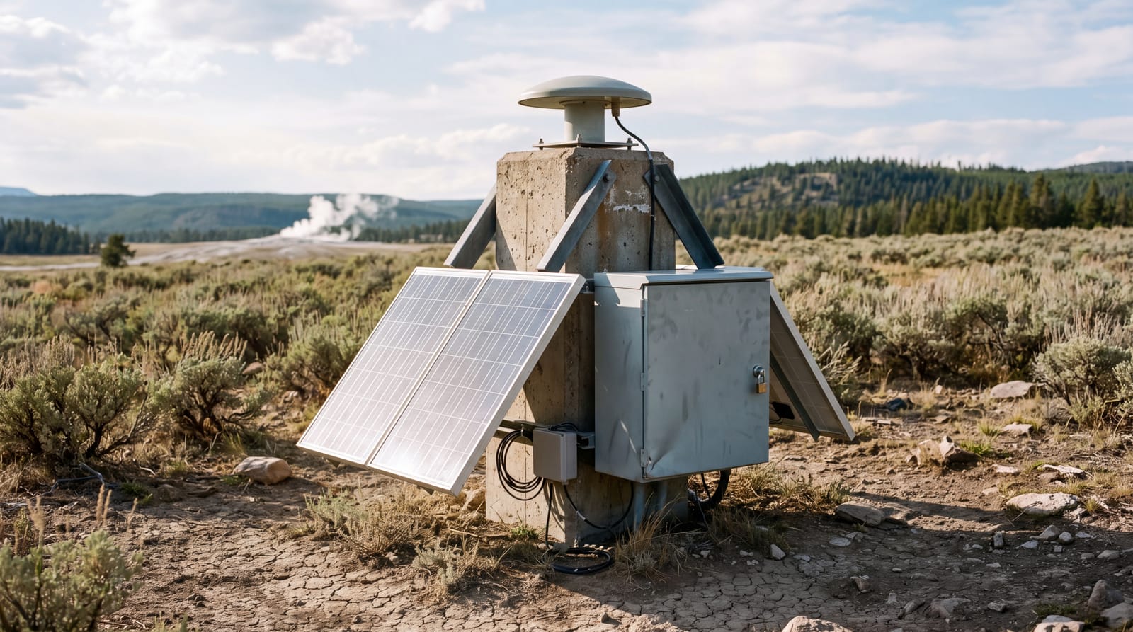
A remote GPS monitoring station with a solar panel and equipment box on a braced monument in a sagebrush meadow, with forested hills and a faint plume of steam in the distance
A remote GPS monitoring station. Generated with Gemini.

Chapter one

What the resurgent domes are and why stations sit on them

Yellowstone Caldera formed 631,000 years ago, when a huge volume of rhyolite magma erupted explosively and the roof of its reservoir collapsed. As USGS geologist Dan Dzurisin describes, magma started refilling the partially drained reservoir shortly afterward, and the rising pressure lifted the caldera floor by hundreds of meters at two sites. The bulge in the eastern part of the caldera became the Sour Creek resurgent dome, and its sibling in the western part became the Mallard Lake resurgent dome.

Lava domes form mainly by extrusion of viscous lava onto the surface, while resurgent domes form by uplift of the surface itself, driven by magma accumulating underground. The National Park Service says both domes inflate and subside as the volume of magma or hydrothermal fluids changes beneath them. That makes the domes natural places for instruments.

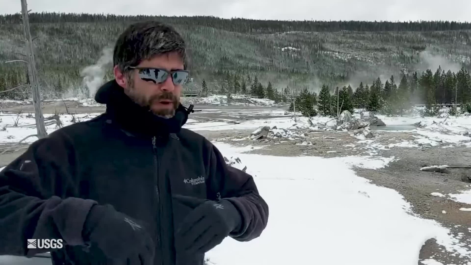
A field technician in a hard hat looks up at tall conifers beside a GPS antenna, with freshly cut stumps and logs in the clearing around the station
A field technician beside a GPS antenna. Generated with Gemini.

White Lake, Old Faithful and Norris

In the episode, the White Lake GPS station sits on the east side of the caldera, on the Sour Creek dome, and the Old Faithful continuous GPS site sits on the Mallard Lake dome. YVO labels the White Lake, Old Faithful, and Norris stations WLWY, OFW2, and NRWY, which matters later when you go looking for the plots.

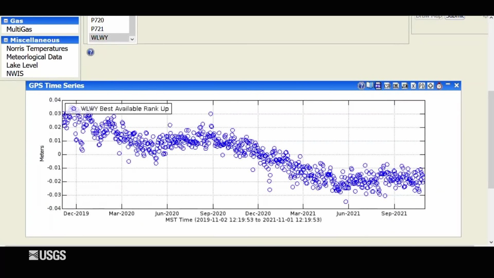
GPS time series chart for station WLWY: small blue circles showing the station's vertical position, drifting lower from December 2019 to September 2021.
The White Lake (WLWY) GPS station's vertical position, as shown in the recording. Screen capture, public domain.

Chapter two

Steady subsidence of about an inch a year

On the White Lake plot, each blue dot is one day of data, and across two years the dots slope downward. Poland saw no change in that trend, with subsidence of a couple of centimeters, about an inch, per year. The Old Faithful site on the Mallard Lake dome shows the same overall downward trend.

The record is longer than two years. Since 2015, GPS data indicate that the caldera has been subsiding by about 2 to 3 centimeters each year, and the sinking shows up at stations on both the east side, near Mud Volcano, and the west side, near Old Faithful.

Why subsidence pauses every summer

The downward line is not smooth. Every summer, subsidence pauses or even reverses by a small amount, 0.5 to 1 cm of uplift, from about May or June until September or October. Poland's explanation in the episode is seasonal groundwater recharge. Snowmelt and runoff percolate into the subsurface, and the ground swells like a wet sponge.

The timing matches the rivers. A 2023 YVO column shows that the pause begins right as river levels spike from spring snowmelt, which recharges the groundwater system. Some people have compared the cycle to breathing, and the trend reverses in early winter.

The pattern has held. In its September 2025 update, YVO reported that the caldera had risen by about 1 cm since late May, superimposed on the overall subsidence trend that has been ongoing since 2015 to 2016.

Chapter three

Norris Geyser Basin: a small uplift after two quiet years

Norris Geyser Basin sits north of the caldera, and for two years it had shown little deformation.

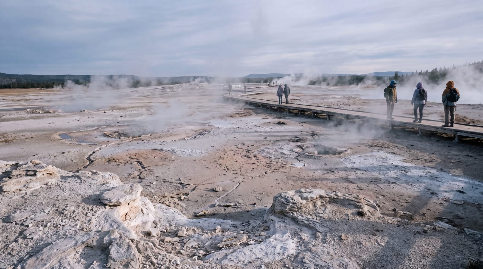
Steam rises from vents across the pale, mineral-crusted ground of Norris Geyser Basin, with a boardwalk and a few distant visitors under a cool morning sky
Steam rises from vents across the pale, mineral-crusted ground of Norris Geyser Basin. A boardwalk and a few distant visitors under a cool morning sky.Generated with Gemini

In the November 2021 update, Poland said the GPS record suggested a bit of uplift might be starting over the summer, amounting to only 1 to 1.5 centimeters, less than an inch. Newsweek reported that Poland said the uplift appeared to have started in July and that its cause was unclear.

He listed a seasonal change, or hydrothermal or magmatic processes deep below the surface, as the possibilities. Poland pointed to hydrothermal fluids as the most likely cause. Dissolved minerals can coat the subsurface pipes that carry hot water, much like corroded pipes in a house, and changes to those conduits can deform the ground above them.

Norris has done this before

The episode noted that Norris had uplifted in 2013 to 2014 and again from 2015 to 2018. Poland told Newsweek that there was also a major episode of uplift in 1996 to 2004, and he called uplift there common.

The 2013 to 2014 episode was the largest of recent decades, with the ground rising 5 cm in about four months. It ended on March 30, 2014, the day of a M4.8 earthquake, the largest in Yellowstone since 1980. Research later showed that water that would normally flow through the subsurface near Norris had been accumulating. Poland likened it to a kink in a hose, with the earthquake acting as the valve breaking open and letting the water out, after which the ground subsided.

A smaller version came in December 2017, when the station closest to the basin, NRWY, subsided by about 2 cm over two to three weeks before uplift resumed. YVO suggested that a blockage had breached and then resealed. The area around Norris deforms independent of the caldera, so the caldera-wide summer pause and Norris's own behavior are separate things to track.

How the Norris signal was later interpreted

By the December 1, 2021 update, the picture had changed. Norris had shown 1 to 1.5 cm of upwarp in the summers of 2019, 2020, and 2021, and it was unclear whether this was lasting uplift or the same seasonal pattern seen at other caldera stations. Over the following month the signal turned around just like the other stations, so YVO concluded that the Norris uplift appeared to be related to seasonal groundwater recharge.

Later updates found no lasting change. The June 2023 YVO update reported that a GPS station near Norris had recorded steady subsidence totaling about 2 cm since October 2022. The September 2025 update says Norris also recorded the seasonal uplift, with no overall changes over the past several years. The 2021 bump is best read as an early observation that later data explained, not as a new uplift episode.
The ups and downs are the normal behavior of a large magmatic and hydrothermal system.
From Sinking Caldera, Rising Norris: Reading Yellowstone's Ground Deformation

Chapter four

A surprising detail: cutting trees sharpened the GPS signal

One detail from the episode has nothing to do with magma. The Old Faithful GPS record becomes noticeably more precise in September 2020, because trees in the region were cut down after a nearby fire and the park wanted to reduce the fire load if the fire reached the area. With fewer trees around, the GPS signal is a little better.

What the trends say about eruptions

Ground motion at Yellowstone is routine over long timescales. Leveling measurements from 1923 to 1977 showed the caldera rising 72 cm, after which it switched to subsidence in the 1980s and returned to uplift in the 1990s. Terraces on the north side of Yellowstone Lake show that the caldera has subsided overall by about 30 meters (100 feet) over the past 14,000 years. The same column says the caldera will at some point uplift again, as it did during 2004 to 2009.

None of this makes an eruption more likely. Poland said of the magma-related Norris uplift of 1996 to 2004 that it was not a sign that an eruption was more likely, and that magma has not reached the surface in the area in over 70,000 years. The National Park Service adds that a caldera can go through episodes of uplift and subsidence for thousands of years without erupting. The ups and downs are the normal behavior of a large magmatic and hydrothermal system.

How to look at the GPS data yourself

All GPS data from the region are public. YVO says you can find plots by clicking GPS stations on its monitoring page, or browse the UNAVCO and Nevada Geodetic Laboratory interactive maps. Search for NRWY near Norris, OFW2 near Old Faithful, and WLWY at White Lake.

On the caldera stations, look for a long downward slope with a flattened or slightly raised stretch each summer. On NRWY, expect small seasonal bumps and not a sustained climb. The monthly YVO update notices give the scientists' reading of the same plots, which helps when a wiggle looks alarming on its own.

Key takeaways

  • GPS stations on both resurgent domes show subsidence of about an inch a year, interrupted by a pause every summer.
  • The pause comes from snowmelt recharging groundwater, which swells the ground like a wet sponge.
  • Norris showed 1 to 1.5 cm of apparent uplift in summer 2021, and YVO soon described it as appearing seasonal.
  • Trees cut near Old Faithful in September 2020 made the GPS signal there more precise.
  • Ground motion at Yellowstone is routine and does not by itself make an eruption more likely.

Source recording: USGS: 2021 November Yellowstone Volcano Update, U.S. Geological Survey, video edited by Liz Westby, videographer Mike Poland. Public domain. The GPS chart is a screen capture from that recording; the other images were generated with Gemini. Also cited: USGS monthly update video, January 1, 2023; YVO: Yellowstone's caldera, resurgent domes and lava flows; National Park Service: Yellowstone volcano; A deformation update for Yellowstone caldera, October 2023; Yellowstone's ups and downs explained (USGS video); YVO monthly update, September 2025; Newsweek on the Norris uplift; YVO: a recent hiccup in deformation at Norris Geyser Basin; YVO monthly update, June 2023.

Three cuts for the walk home

Vertical clips from the episode. Made to be watched with the sound on.

0:39

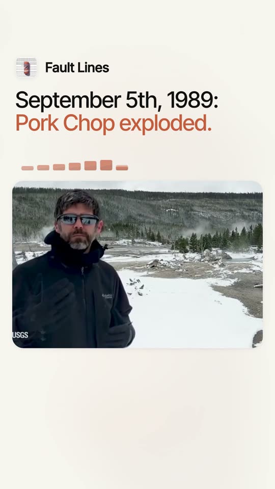
The day Porkchop Geyser exploded0:39 · Mike Poland on site: the constricted vent, the thrown rocks and the eyewitness record.

0:25

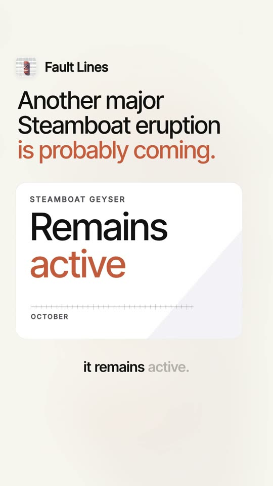
Steamboat Geyser's next eruption is coming0:25 · Major eruptions on October 13 and October 25, and 17 so far in 2021.

0:33

How a pork chop became a geyser0:33 · A thermal pool in the '60s, then intermittent geyser eruptions in the '70s and '80s.

Dispatches from the field

A short letter from Fault Lines. The latest one covers the November 2021 update: October's earthquakes, the sinking caldera, Norris and Steamboat Geyser.

Leave whenever you like.

Preview page: signups are not collected here.

Dispatches · Fault LinesLatest

Yellowstone in October: 267 quakes, a sinking caldera, and Norris may be rising again

Steamboat's October 25 eruption was its 17th of 2021; another major eruption looked likely within days to a week.

The caldera continued subsiding about an inch a year, while Norris showed a possible return to uplift: about one to one and a half centimeters over the summer. Steamboat Geyser had major eruptions on October 13 and 25, its 17th of 2021, with another likely within days to a week.

Yellowstone recorded 267 earthquakes in October, within normal background levels; the largest was magnitude 2.6.
The caldera continued subsiding about an inch a year, with no real change in the trend.
Norris may be starting to uplift again after a few years without deformation, with about one to one and a half centimeters of uplift over the summer.
Steamboat Geyser erupted on October 13 and 25, bringing its 2021 total to 17; another major eruption was likely within days to a week.

Out on the trail

How the story traveled. Follow @faultlinespod.

X

Fault Lines @faultlinespod

Cutting trees to reduce fire load had a side effect for Yellowstone monitoring. The speaker says that with fewer trees, "the GPS signal is a little bit better in that region." Precision improved in September 2020.

ReplyRepostLikeShare

Threads

faultlinespod
A geyser erupts a tall column of water and steam from a mineral-crusted basin, under the words Fault Lines, Pressure point.

faultlinespod Steamboat Geyser's temperature record shows how a major eruption builds. The speaker points to the outlet channel trend: the up and down wiggles are just normal daily variation, but then "minor eruptions that culminate in a major." Majors came on October 13th and 25th, and with minor activity showing up again, the speaker expects "another major eruption sometime in the next few days to week or so." That makes 17 eruptions so far in 2021.

LinkedIn

Fault LinesPodcast

Norris may be waking up again, though only a little.

In the November 2021 Yellowstone volcano update, the speaker said that over the past two years there hadn't been much deformation at Norris Geyser Basin. Over the summer, though, it looks like "we might start to see a bit of uplift."

The speaker was careful about scale. Over the last few months it amounts to "one to one and a half centimeters or so, less than an inch."

There is history here. The speaker noted that the area has seen uplift before, "particularly during 2013 to 2014, and again from 2015 to 2018." So Norris "may be going back into a period of uplift after a few years of no deformation."

A small signal, set against a pattern the area has shown before.

#Yellowstone #Geology #Volcanology

A wooden boardwalk winds across steaming, mineral-stained ground at sunrise, under the words The heat beneath: a deep dive into geothermal energy.
LikeCommentRepostSend